The southwestern part of Luxembourg is known as Minett and in a geological approach it is an extremely interesting territory. It exposes an high diversity of marine near-shore sediment rocks from the Jurassic Age, being situated at the north-eastern margins of the Paris Basin.
The iconic Minette ironstone formation is known as the worldwide largest oolitic ironstone deposit from the last 500 million years and the abandoned open cast mines are nowadays not only sites with a high biodiversity, protected by national laws and forming the “Minett UNESCO Biosphere”, being the only Luxembourgish territory that has been admitted to UNESCO’s “Man and the Biosphere”-programme. They territory is closely linked to geodiversity.
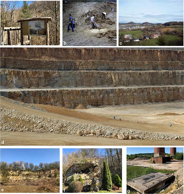
 (a) geosite 3, ravine Galgenbierg-Scheer nearby Dudelange, exposing the ‘Grès à Dumortieria’; photo by R. Weis/MNHNL, March 2020; (b) geosite 4, Couche grise and Couche jaune cycles of the Minette ironstone formation at locality ‘Italie’ nearby Dudelange; photo by R. Weis/MNHNL, March 2020; (c) geosite 5, ironstone cliff at the Hesselsbierg hilltop, nearby Tétange; photo by R. Weis/MNHNL, March 2020; (d) geosite 6, overview of a rock sequence comprising the upper part of the Minette formation and the overlying marls and limestones of the Bajocian, former open cast mine Hutbierg nearby Rumelange; photo by R. Weis/MNHNL, April 2017; (e) geosite 7, palaeontological excavation in the ‘Conglomérat à Sonnina’ Konzentrat-Lagerstätte (early Bajocian) at Giele Botter, nearby Differdange in 2013; photo by R. Weis/MNHNL; (f) geosite 8, entrance of the National Mining Museum and the underground mine ‘Walert’, in Rumelange; photo by Musée national des Mines de fer Rumelange; (g), Geosite 9, Cross-stratifications in situ, a detail of the sandwave complex building up the Minette sedimentological cycles at former open cast mine ‘Lalléngerbierg’ nearby Esch-sur-Alzette; photo by R. Weis/MNHNL, 2017
The schistes bitumineux unit, a lateral equivalent of the well-known Posidonienschiefer of the Holzmaden region (South Germany), is frequently studied for its exceptionally preserved fossils of marine vertebrates, cephalopods, and insect remains, deserving its status as a Fossil-Lagerstätte of international relevance.
Being regionally important are the Rumelange limestones, with coral patch-reef paleo-environments. The geomorphological main feature of the region is the Cuesta of the Middle Jurassic (‘Dogger-Schichtstufe’), with several outliers (‘Zeugenberge’) that represent widely visible landmarks in the landscape, the “Zolwerknapp” being the most famous of them.
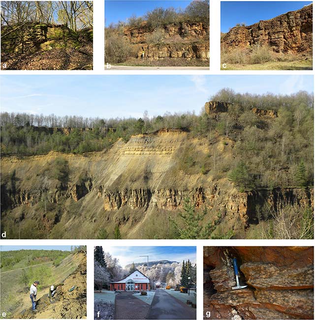
In the new open access publication by Robert Weis from the palaeontology department of the National Museum of Natural History in Luxembourg, who is also a scientific collaborator for our biosphere reserve, 16 geosites, representative of the geological, palaeontological, geomorphological, and hydrogeological heritage in the Minett UNESCO Biosphere, are presented and evaluated according to scientific, educational, and geotouristic criteria.
You can read the publication here and discover the geological richness and uniqueness of our region.